Kalorama Triangle Historic District
Kalorama Triangle represents the ambitions and ideals of DC's early-20th century middle class.
Text
The development of the Kalorama Triangle neighborhood illustrates the transition from a rural to an urban environment that marked Washington's growth into a 20th century city. Kalorama Triangle maintains the integrity of its original visual appearance and residential use created over an almost 40-year period (1893 to 1931). The history of the area, from its existence as an idyllic counterpoint to the adjacent municipality to its embodiment of middle-class aspiration, illustrates the factors critical to successful city planning.
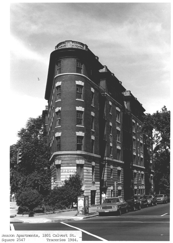
Kalorama Triangle has long been recognized as an area with a strong visual identity. Constructed as part a great surge in building in the late 1890s and with the incorporation of the County of Washington into the city limits, Kalorama Triangle has always had a distinct identity. Three major thoroughfares, Connecticut Avenue, Calvert Street, and Columbia Road, define and enclose the area into a triangular configuration.
Screened from the surrounding hectic commercial areas, Kalorama Triangle is characterized by a quiet, residential appearance and ambience. It includes 353 contributing buildings, representing influences from Beaux-Arts classicism, the English Arts and Crafts Movement, and Georgian and Colonial Revival styles, among others. These buildings were designed to meet the aspirations and taste of a financially secure middle class.
DC Inventory: November 22, 1986 (effective April 27, 1987)
National Register: May 4, 1987