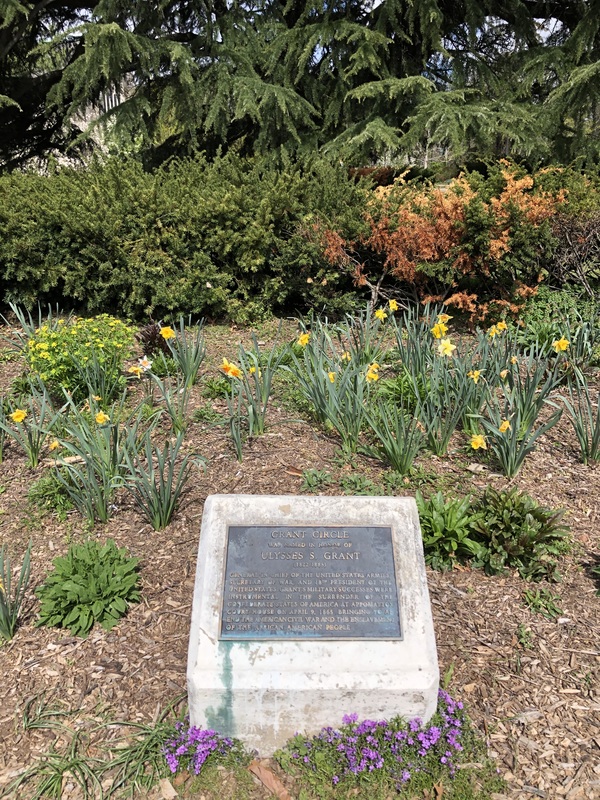
Grant Circle Historic District: The Grant Circle Historic District represents a core part of the carefully planned Petworth subdivision.
Text
Grant Circle is a major urban and visual feature of the Petworth neighborhood, marking the intersection of Fifth and Varnum Streets and Illinois and New Hampshire Avenues, N.W. These parks are defined by a mix of hedges, lawns, and mature trees, organized into geometric patterns that reflect the strong geometry of the surrounding streets and avenues. The houses in the area are defined by their continuity of scale, material, and character, exhibiting subtle variations on the Washington rowhouse prototype influenced by early-20th-century revivalist styles. The two religious structures in the historic district, although each distinct in architectural character and stylistic treatment, complement the revivalist and residential character of the historic district, acting as both architectural and civic landmarks in an otherwise residential neighborhood.
The Grant Circle Historic District is part of the larger 19th-century residential subdivision of Petworth—the city’s first subdivision to be planned in accordance with the 1888 Subdivision Act, which required new subdivisions to conform to the L’Enfant Plan. Although other subdivisions, such as Brightwood, the Palisades, and Ingleside, were also platted as part of this act, none of them presented a street plan as grand as Petworth, complete with circles and diagonal avenues that aligned directly with those of the L’Enfant Plan.
The three distinct periods of development in Grant Circle illustrate broad trends in the evolution of urban areas, particularly DC, during the late 19th and early 20th centuries, as Washington sought to reconcile the legacy of the planned Federal city with the suburban expansion necessary to support its growing population.
Together with Sherman Circle, Grant Circle was one of only two traffic circles outside the boundaries of the L’Enfant Plan that corresponded to the scale and character of the original circles. The form and monumental character of Petworth and Grant Circle reversed a trend of incompatible, speculative subdivision that had characterized the earlier three decades.
DC Inventory: April 2, 2015
National Register: February 13, 2015
Files

Detail of 1913 Baist Atlas, Volume 3, Plate 18, showing the concentration of development in the southwestern corner of Petworth, just barely reaching Grant Circle.
Source: Baist’s Real Estate Atlas Surveys of Washington, D.C. (Philadelphia: G.W. Baist, 1913).
1935 Photograph of Petworth Methodist Episcopal Church, taken on the occasion of its thirtieth anniversary.
Source: Evening Star Collection, Martin Luther King, Jr. Memorial Library
Architect's drawing of entrance to St Gabriel's Church.
Architect's drawing of entrance to St Gabriel's Church at 26 Grant Circle NW. Ca. 1940 (?). | Source: Historical Society of Washington | Date: 1940(?)
View north from Upshur Street NW over Reservation 312F on New Hampshire Avenue.
General view north from Upshur Street NW over Reservation 312F in the median of New Hampshire Avenue southwest of Grant Circle. Includes the Petworth United Methodist Church. | Source: Historical Society of Washington | Date: 1927/03/18
Petworth Methodist Church, Illinois and New Hampshire Avenues NW.
John P. Wymer's description: Petworth Methodist Church, west side of Grant Circle (Illinois and New Hampshire Avenues NW). December 5, 1948 | Source: Historical Society of Washington | Date: 1948/12/05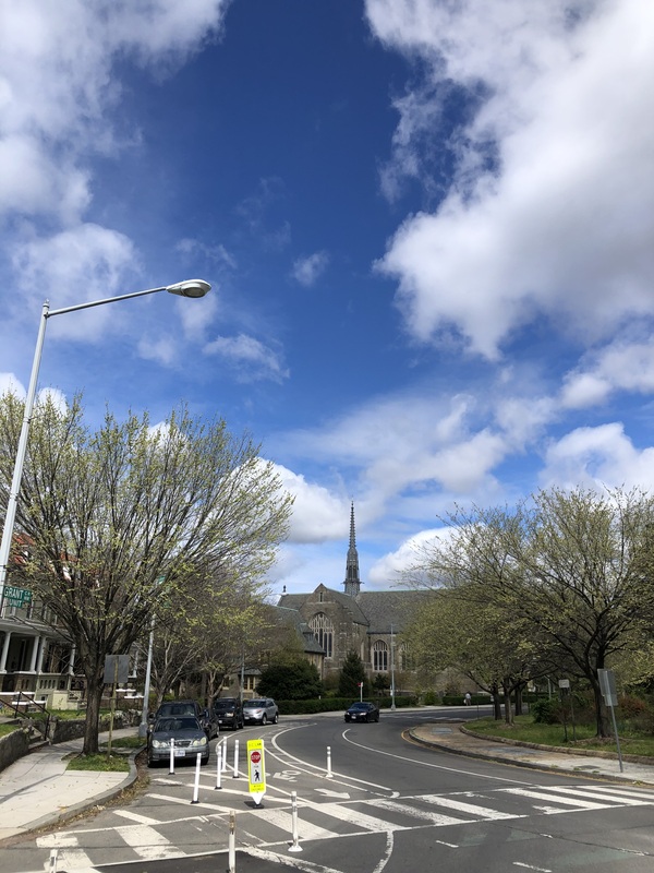
Grant Circle.
Source: Zachary Burt. | Date: April 2020.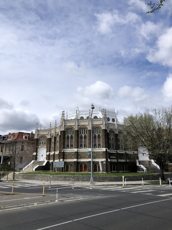
Petworth United Methodist Church at Grant Circle.
Source: Zachary Burt. | Date: April 2020.